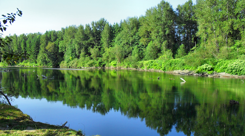
Snoqualmie River
The Snoqualmie River is a 45-mile long river that begins near the town of Snoqualmie, where the river’s three forks join just above Snoqualmie Falls. It meanders its way north through rich farmland and the towns of Fall City, Carnation, and Duvall before meeting up with the Skykomish River to form the Snohomish River near Monroe.
Olallie State Park in North Bend is a 2,500-acre day use park along the South Fork of the river that features dramatic waterfalls, cliff formations and old-growth trees over 10 feet in diameter. Trout fishing, bird watching, hiking, and rock climbing are all popular park activities.
The Three Forks Natural Area in Snoqualmie is located where the three forks of the river join, and includes over five miles of riverfront. The area is mostly left in its natural state, but a small portion is designated as an off-leash dog park.
The Tolt-MacDonald Park & Campground in Carnation is a 574-acre park that sits at the junction of the Snoqualmie and Tolt Rivers in the beautiful Snoqualmie Valley, and features a 500-foot suspension foot bridge that crosses the Snoqualmie River and offers terrific views of the river and Cascade foothills. During the fall, you can observe spawning salmon in the river below and eagles and osprey soaring above.
Fishing is also a popular activity along the Snoqualmie River – the combination of steelhead runs in the lower river and trout fishing in the upper forks makes the Snoqualmie a favorite among many Seattle-area anglers.
Snoqualmie River Access Points:
- Sandy Cove Park – 7970 Falls Avenue SE, Snoqualmie, WA
- Washington Dept. of Fish & Wildlife – Water Access Sites : Snoqualmie River


